GeoGrafé – GIS-enabled Business Intelligence, Survey and Design
GeoGrafé is a geospatial survey tool that is designed to empower businesses by devising and improving strategies through meticulous reporting, monitoring, and planning.
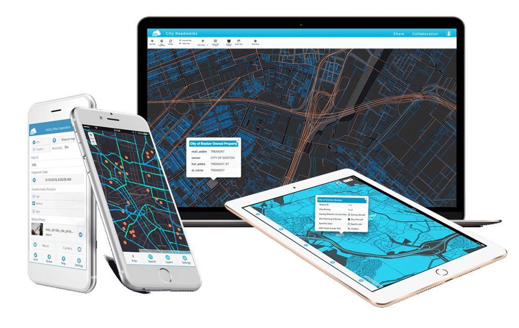
Through real-time, location-enabled interfaces, this product provides comprehensive management solutions for organizations and enterprises. A GIS-enabled, flexible and powerful business intelligence platform, it streamlines collaboration, and translates data into actionable knowledge through clear visualizations.

Through real-time, location-enabled interfaces, this product provides comprehensive management solutions for organizations and enterprises. A GIS-enabled, flexible and powerful business intelligence platform, it streamlines collaboration, and translates data into actionable knowledge through clear visualizations.


Features
![]() Customizable reports
Customizable reports
![]() Attendance management
Attendance management
![]() Comprehensive GIS capabilities
Comprehensive GIS capabilities
![]() Business Intelligence Dashboard
Business Intelligence Dashboard
![]() Oranization’s hierarchy (organogram)
Oranization’s hierarchy (organogram)
Features

![]() Customizable reports
Customizable reports
![]() Attendance management
Attendance management
![]() Comprehensive GIS capabilities
Comprehensive GIS capabilities
![]() Business Intelligence Dashboard
Business Intelligence Dashboard
![]() Oranization’s hierarchy (organogram)
Oranization’s hierarchy (organogram)
Industry Verticals
![]() Telecom
Telecom
![]() Academic Institutions
Academic Institutions
![]() Trading and Logistics
Trading and Logistics
![]() Energy Sector
Energy Sector
![]() Survey Companies
Survey Companies
![]() Construction
Construction

Industry Verticals

![]() Telecom
Telecom
![]() Academic Institutions
Academic Institutions
![]() Trading and Logistics
Trading and Logistics
![]() Energy Sector
Energy Sector
![]() Survey Companies
Survey Companies
![]() Construction
Construction
Potential Applications
Businesses can use this tool to organize site surveys; for instance, environmental management authorities can use this tool to collect information on locations of teams in charge of environmental management, as well as track and examine ecological data and problematic sites. Real estate businesses can use this tool to map the location of properties and assets, according to their value and features. They can also guide the customers according to their needs and requirements.


